Sprachmenü
Suche Intern
Hauptnavigation
 
  • LRT 9.1 Raumfahrttechnik
    • Institut
    • Team
    • Forschung
    • Lehre
    • Aktuelles
  • LRT 9.2 Satellitennavigation
    • Historie und Expertise
    • Team
    • Forschung
    • Software Packages
    • Services
    • Lehre
    • Aktuelles
  • LRT 9.3 Erdbeobachtung
    • Institut
    • Team
    • Lehre
    • Publikationen
  • LRT 9.4 Satellitenbetrieb

Universität der Bundeswehr München

Breadcrumbs
  1. Fakultät für Luft- und Raumfahrttechnik
  2. Institut für Raumfahrttechnik und Weltraumnutzung
  3. Startseite
  4. LRT9.2 Satellitennavigation
  5. Aktuelles

Firefly: GNSS/Pseudolite/LTE combined measurement campaign

A further measurement campaign was carried out as part of the Firefly project between the partners RWTH Aachen, Work Microwave GmbH and UniBwM.

Munich Satellite Navigation Summit 2025

As every year, the Institute organised the Munich Satellite Navigation Summit, this year with the theme ‘Resilient PNT - Backbone of Autonomy & Critical Infrastructure’. PNT services from space face numerous challenges today.

Erfolgreiche Promotion von Thomas Kraus

Wir freuen uns, einen weiteren Meilenstein in der akademischen Laufbahn unseres Kollegen (Dr.-Ing.) Thomas Kraus bekanntzugeben.

20 years of Munich Satellite Navigation Summit

Stakeholders from Europe, the US and Asia met in Munich from 20th of March 2024 to spend three days to discuss the progress in satellite navigation.

IPPW 2024

Mid of June 2024 Max Hofacker presented at the IPPW conference about terrain relative navigation to search on the Mars surface for water with a swarm of rovers and helicopters.

European Navigation Conference 2024

During the 22nd – 24th of May the European Navigation Conference (ENC) took place at the ESA ESTEC site in Noordwijk, the Netherlands.

Measurement Campaign Firefly

A measurement campaign was initiated to test a navigation system developed by UniBwM, RWTH Aachen University and Work Microwave GmbH that supports the user in environments with low visibility of satellites

EGU 2024 Vienna, Poster Presentation

Alexandru Mihai Lăpădat, Jan Kodet from TUM and Prof. Dr. Thomas Pany presented a poster about a ultra-precise GNSS Pseudolite Transmission Chain (first results)

Can new navigation signals from Low Earth Orbit (LEO) constellations coexist with existing GPS or Galileo signals? [ION-ITM 2024]

Galileo Open Service Message Authentication (OSNMA) vs. dual antenna receivers to detect GNSS spoofing / ION-ITM 2024

Erfolgreiche Promotion von Ronny Blum

Am 9. November hat (Dr.) Ronny Blum seine Promotionsprüfung erfolgreich abgelegt. Der Titel seiner Dissertation lautet: "State of the art of GNSS spoofing and spoofing detection with new receiver based defense strategies and experimental validation". Wir gratulieren herzlich! Foto des Kandidaten und der Prüfungskommission bestehend aus (Prof. Schmitt, LRT9.1; Prof. Berglez, TUG; Prof. Pany, LRT9.2)

Projekt WESIS-alpha gestartet

In disem Projekt arbeitet unser Institut zusammen mit dem Bundesamt für Kartografie und Geodäsie (BKG) in Wettzell. Es soll eine Monitoringstation für GNSS Signale am Standort Wettzell aufgebaut werden. Die Software wird von unserem Institut entwickelt.

ION Konferenz Teilnahme

Auch dieses Jahr gab es eine zahlreiche Teilnahme unserer wissenschaftlicher Mitarbeiter an der Corona-bedingten teils virtuell gestalteten ION Konferenz in St.Louis, MO, USA vom 20.-24.9.21

Ground multipath mitigation with UAVs

Galileo OS NMA authentication services under test

Since November 28th 2020, the navigation authentication data has been transmitted through the Galileo Open Service (OS) signal. This is the first open service GNSS signal ever to provide authentication service, namely Open Service Navigation Message Authentication (OSNMA). We are participating in the evaluation that is taking currently ongoing and are capable of evaluating the authentication service that is being provided.

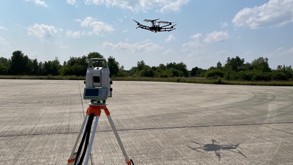
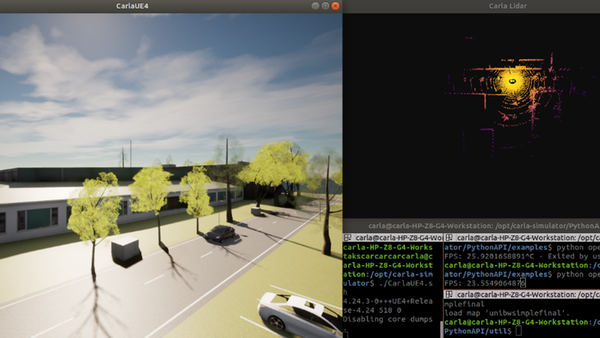
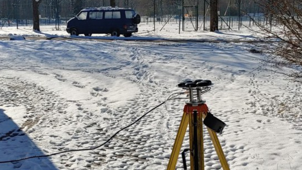
Emulation of a LiDAR/IMU Navigation Solution for an Asteroid Lander Using a Multicopter

In the field of deep space exploration, sending probes to planets, moons and asteroids are getting more attention in order to understand the origin of the universe, the assessment of possible existence of forms of life –apart from those on the Earth–, and the possibility of establishing colonies in the solar system. One crucial task of those spacecraft is to ensure the autonomy of operating in the vicinities of those celestial bodies. Hence, we are proposing a new concept for autonomous navigation of an asteroid lander.

New LiDAR simulation framework for GNSS/INS/LiDAR sensor fusion

New Inertial Laboratory

ISTA has set up a new high-tech inertial laboratoy, which enables the calibration of all IMU sensor classes!!!

New GNSS antenna array setup

New GNSS antenna array setup ready to study the possibilities of (suboptimal) antenna array processing for position and attitude estimation, interference mitigation and spoofing detection

ION GNSS+ 2020 GOES VIRTUAL

We are back !!! With new energy, with new research, and in a totally new way. Catch our latest video presentations from ION GNSS+ 2020

ISTA-Forschungsteam demonstriert High-Tech-Spoofing-Versuche

Position konnte weggezogen werden, Receiver blieben unauffällig

ISTA-Forschungsgruppe demonstriert High-Tech-Spoofing-Angriffe auf GNSS-Empfänger

Position verfälscht, Receiververhalten unauffällig

ISTA introduces database to help research community..

Have doubts about your Smartphone GNSS capabilities? Want to know how good is your Smartphone GNSS raw data and sensors quality for your planned Android Applications? Or confused with measurement setup idea for performing RTK solution with a Smartphone?

ISGNSS contribution and prize award for best presentation

The International Symposium on GNSS (ISGNSS) 2019 in conjunction with Institute of Positioning, Navigation and Timing (IPNT) Conference was held from October 29 to November 1, 2019 in Jeju Island, Korea

Inside GNSS magazine article

In the September/October 2019 issue of the InsideGNSS magazine we present our novel GNSS-Software-Transceiver concept.

UniBwM researchers achieved unprecedented 1-2 cm (!) precise GNSS positioning with commercial smartphone

H2020 Space Information Day and Brokerage Event

Prof. Pany presented his views on future R&D strategies for Galileo

ION GNSS+ in Miami, Florida: Multi-Sensor Navigation Analysis Tool (MuSNAT) was presented

The software package MuSNAT is developed at ISTA (LRT9.2) and allows in-depth data analysis in integrated GNSS, inertial and LiDAR positioning.

H2020 Space Information Day and Brokerage Event

H2020 Space Information Day and Brokerage Event

ION GNSS+ 16.-20.09.2019

Auch in diesem Jahr ist das Institut wieder auf der ION GNSS+ vertreten. Die internationale Konferenz findet vom 24.-28. September in Miami statt. Es gibt wieder viele interessante Beiträge über wichtige Themengebiete von wissenschaftlichen Mitarbeitern des Instituts.

  • 1
  • 2
  • 3
  • Die nächsten 30 Inhalte

Institut für Raumfahrttechnik und Weltraumnutzung

Universität der Bundeswehr München

Werner-Heisenberg-Weg 39

85577 Neubiberg


Bereiche / Professuren

LRT 9.1 Raumfahrttechnik

LRT 9.2 Satellitennavigation

LRT 9.3 Erdbeobachtung

LRT 9.4 Satellitenbetrieb


Bildnachweis


Quicklinks

  • Fakultät für Luft und Raumfahrttechnik
  • Kontakt und Anfahrt
Meta-Navigation Tools
  • Kontakt
  • Impressum
  • Datenschutzerklärung
  • Hochschulkommunikation
  • Webmail
  • Anmeldung
Zum Seitenanfang springen